Pilgrimage in the Brohmer and Helpter Mountains
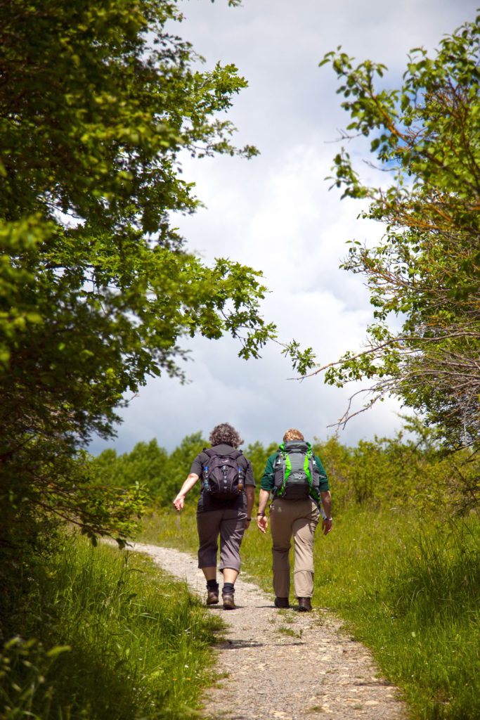
Pilgrimage represents a long tradition of Christianity. People went and still go on pilgrimages to find inner peace and new life force. The destination is not the place at the end of the route, but the way there.
Since 2011 you can go on the pilgrimage trail Mecklenburg Lake District in the Brohmer & Helpter mountains. This is a total of 250 km long, leads from Friedland to Mirow and is suitable for beginners as well as for the more experienced. On the way, you will make a pilgrimage through idyllic and quiet, partly untouched nature with rare animal species such as the osprey and the kingfisher, through hilly landscapes with forests, meadows and lakes.
Here you can enjoy the tranquility of nature, leave everyday life behind and clear your head. Discover slowness and mindfulness for yourself, gain new experiences and find yourself again. In this quiet area, many churches also invite you to stop for a break. Here you can pause and find a place for reflection.
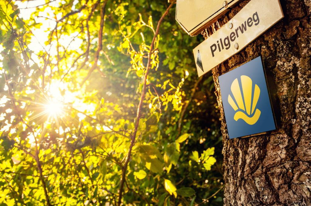
You can recognize the route by the pilgrimage route logo – a yellow shell with a wave on a blue background. It is divided into a total of 15 stages, each of which is about 13 to 20 kilometers long.
Die erste Etappe führt vom Ausgangsort Friedland – Starting point is the church St. Marien – following the course of the Datze through meadows Staven. From there we continue to the city Neubrandenburg, which lies on the northern shore of the Tollensesee and invites you to stay for several days. Why not visit the old town on a stroll, the medieval ramparts and fortifications, the monastery church of St. John and St. Mary’s Church.
In Neubrandenburg, the pilgrimage route now splits into an eastern route (about 153 kilometers, nine days) and a western route (about 101 kilometers, six days) and you have to decide which side of Lake Tollensee you want to continue walking.
Western route
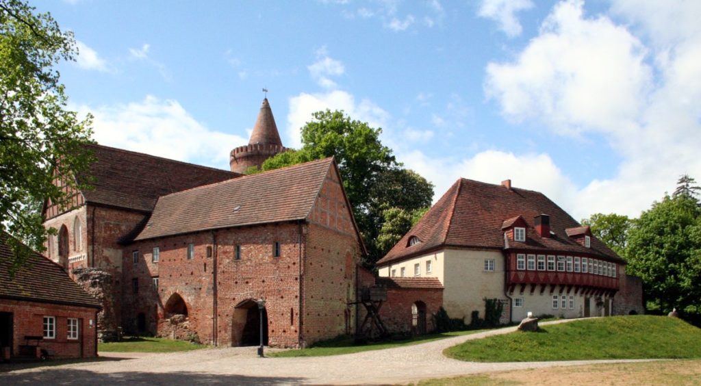
On the shorter western route, you will make a pilgrimage mainly along the water to Prillwitz. From there, the route continues through a wooded landscape with small stream valleys to Neustrelitz. On the way you can admire the castle and the park in Hohenzieritz and visit the Glambeck Lake. Neustrelitz, with its market square, the town church and the palace garden, also invites you to take a longer break. From Neustrelitz, the route continues to Wesenberg, passing many small and large lakes such as Lake Prälank and Lake Userin. From here, the path leads through pine forests to Mirow and finally ends at the highest point of the castle island. Here you can visit the castle, St. John’s Church and the 3 Queens Palace and receive your pilgrimage stamp.
Eastern route
The eastern route leads away from the Tollensesee lake and through urban areas to Burg Stargard, the only hilltop castle in northern Germany. Through forests and meadows you now reach Zachow. Passing the monastery ruins in Wanzka, the route continues to Rödlin, where the small church also invites you to take a break. From there you walk through Müritz-Nationalpark to the Steinmühle located at the Grünower See. Since 1996 it has been an educational site of the Müritz National Park Authority and invites schoolchildren to learn about the characteristic habitats of the National Park.
The trail now takes you past many lakes to Dabelow, where a visit to the unique church is worthwhile. From here you hike to Fürstenberg/Havel and through a quiet, open landscape with numerous lakes further to Priepert, Wustrow and finally to Diemitz, where you can stop in a patronage church from the 18th century. The last stage to Mirow takes you through picturesque forests with embedded lakes, with the circumnavigation of the Großer Wummsee lake being a highlight of the route. In Mirow you can now pick up your pilgrimage stamp on the castle island.
You will find overnight accommodations along the way at both commercial and simple rectories or private quarters. However, shopping facilities are not available on all sections of the pilgrimage route. The cell phone network is also not available throughout the area. That’s why it’s best to download offline maps for navigation before departure.